
How to Read a Topographic Map
Topographic maps, also known as topo maps, are crucial tools for adventure planning, hiking, backpacking, or outdoor exploration. These maps provide detailed information about terrain, elevation, and natural features, allowing you to navigate with precision and confidence. Understanding how to read a topographic map can be a valuable skill that enhances your outdoor experiences.
What is a Topographic Map?
A topographic map is a detailed representation of a specific area's terrain and physical features, including contour lines, elevation data, water bodies, vegetation, and man-made structures. These maps are essential for outdoor enthusiasts, hikers, climbers, and navigators seeking to understand the landscape and plan their routes effectively.
Contour Lines
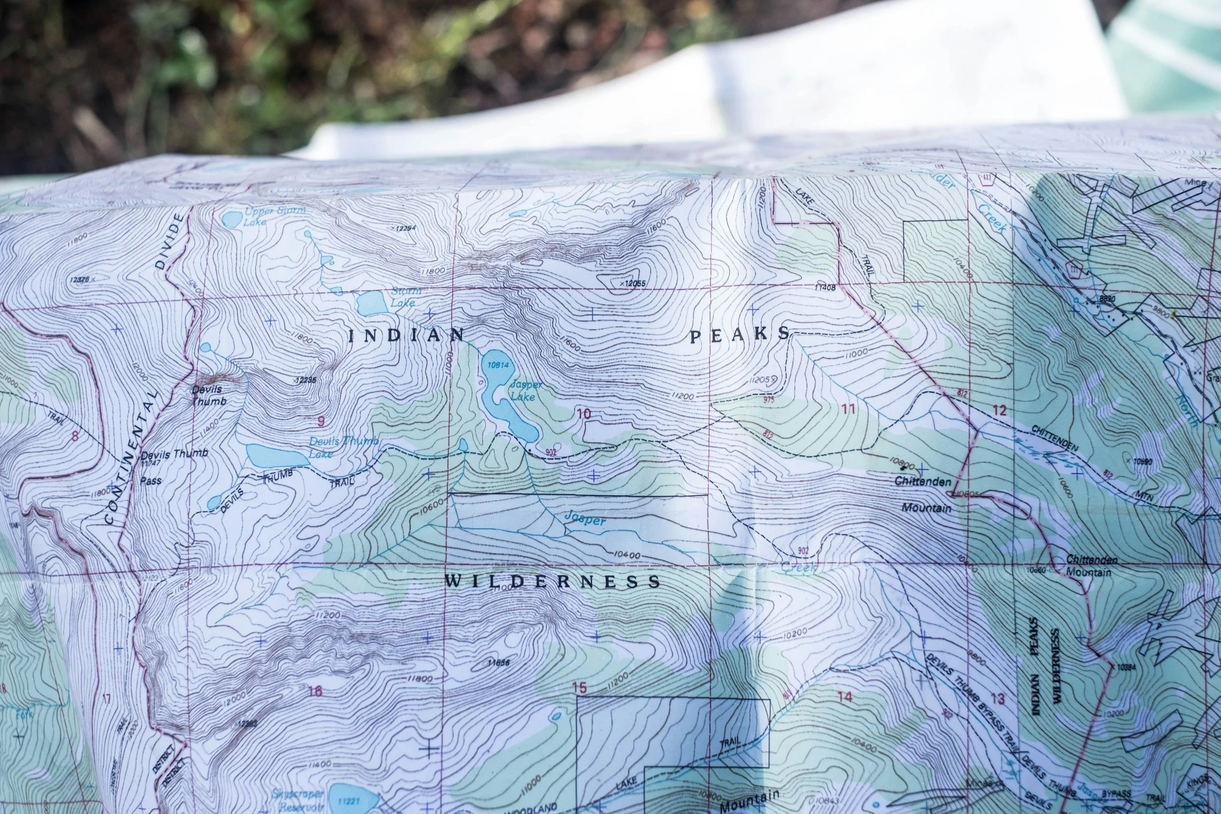
Contour lines are one of the most critical elements of a topographic map. These lines connect points of equal elevation and represent the shape and steepness of the terrain. Understanding contour lines can help you visualize the landscape and anticipate elevation changes along your route.
Contour lines close together indicate steep terrain, while widely spaced lines indicate flat or gently sloping areas
Each contour line represents a specific elevation, typically marked in feet or meters
Contour lines form concentric circles around hilltops and depressions, highlighting the shape of the terrain.
Contour Intervals
These indicate the change in vertical distance between each contour line.
Standard contour intervals are typically 10, 20, or 50 feet, but this may vary depending on the map scale
Index Contours: Bold or thicker contour lines that are labeled with the elevation
Depression Contours: Small contour lines with hatched markings indicating a depression or low-lying area.
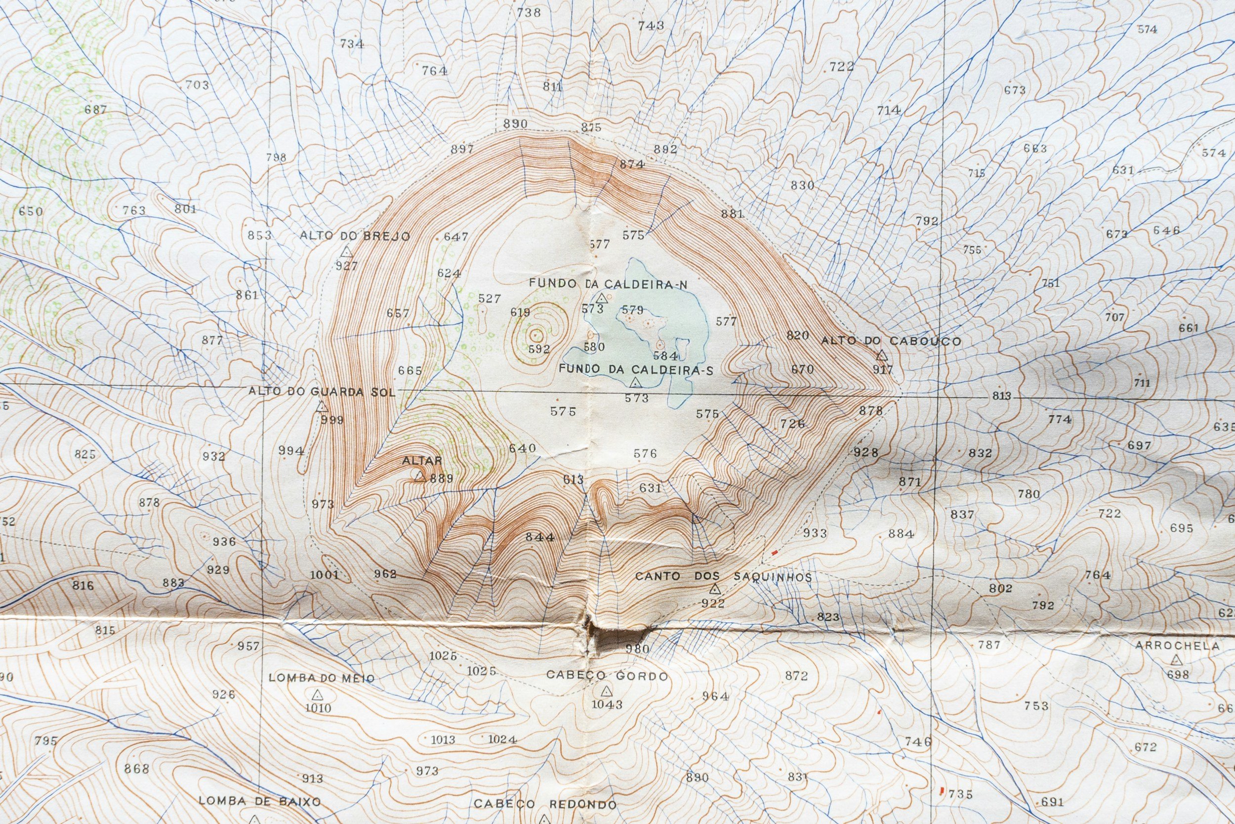
Reading Contour Lines
Contour lines that are close together indicate a steep slope, while widely spaced lines represent a gradual slope
Concentric circles indicate a hill or peak, with the lines getting closer together at higher elevations
Contour lines that form a V-shape or U-shape indicate a valley or ridge, respectively.
What the Colors Mean on a Topographic Map
Topographic maps include a wealth of information beyond contour lines. Key features to look for on a topographic map include:
BLUE: Water bodies, such as rivers, lakes, and streams
GREEN: Vegetation, such as forests, grasslands, and scrublands
BLACK: Man-made structures, such as roads, buildings, and bridges
Geographic names, including place names, summits, and landmarks.
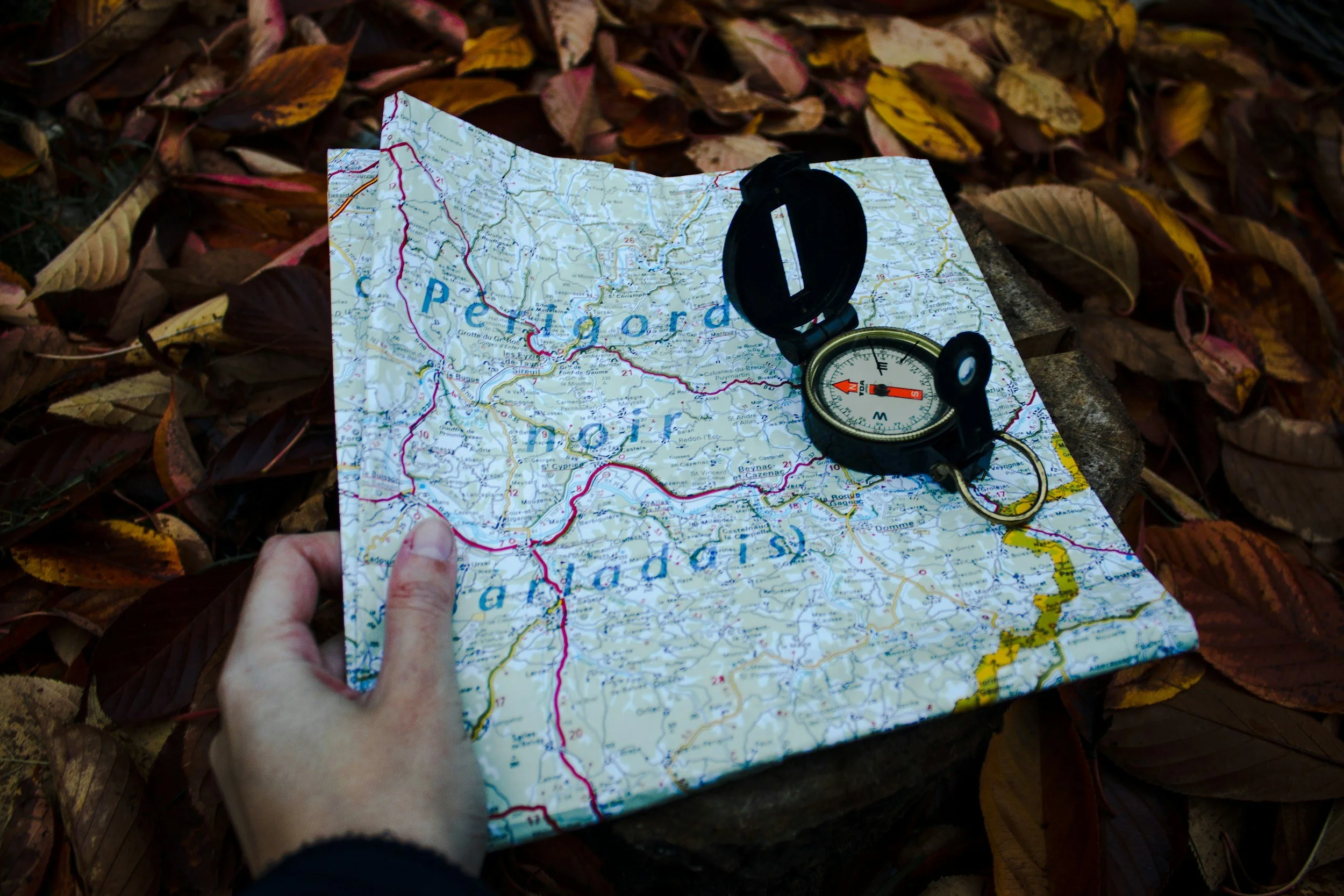
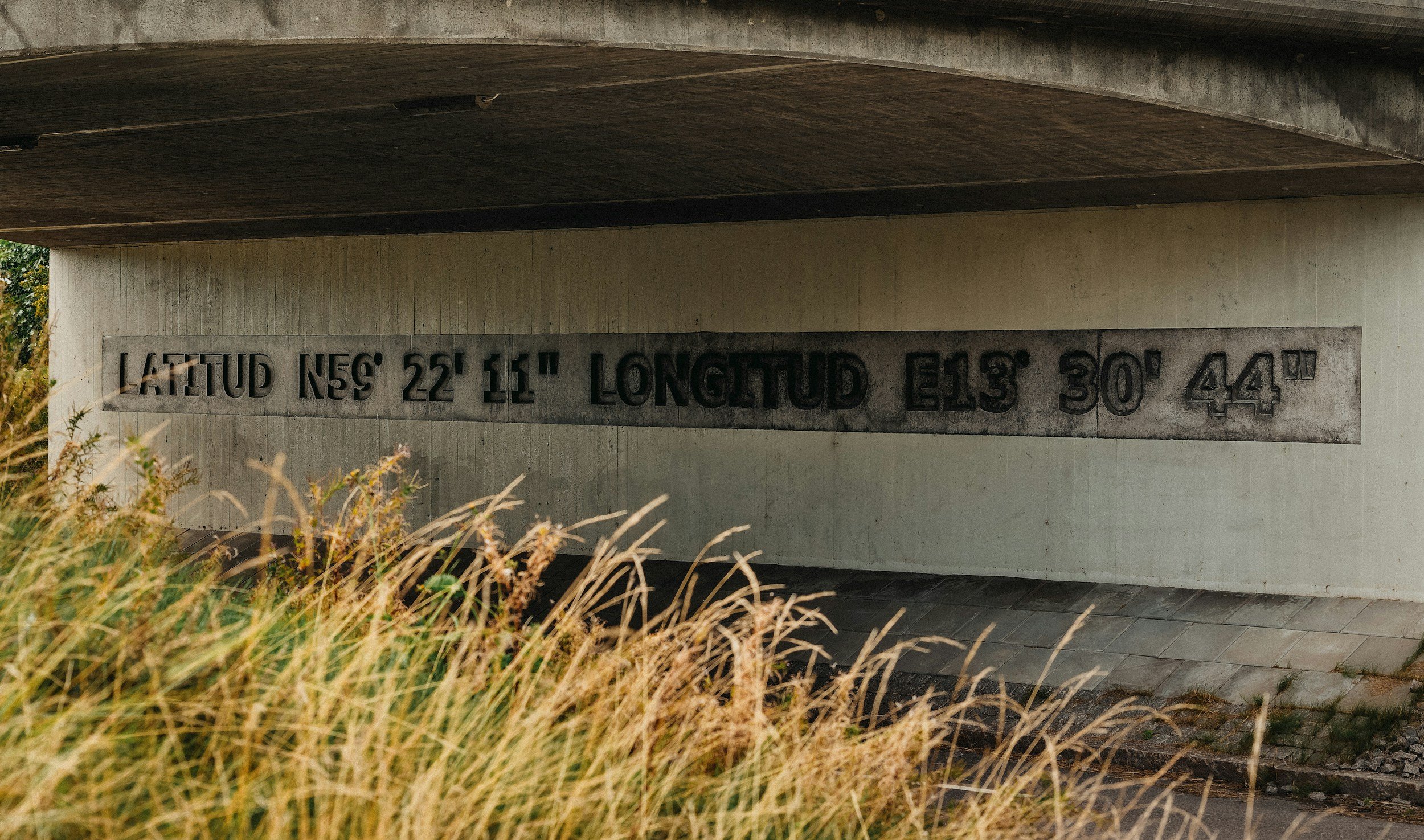
How do the coordinates work?
Topographic maps use various coordinate systems to help you locate and navigate through the landscape. Common coordinate systems include:
Latitude and longitude: Lines of latitude and longitude provide a global grid system for pinpointing locations on Earth
Universal Transverse Mercator (UTM): UTM coordinates offer a more localized grid system, dividing the globe into zones for precise navigation.
Tips on how to read a Topographic Map
Reading a topographic map can seem daunting at first, but with practice and guidance, you can master this valuable skill. Here are some tips for reading a topographic map effectively:
Start by identifying the key components of the map, such as contour lines, water bodies, and landmarks
Use the legend or key to understand the symbols and markings on the map
Pay attention to the scale of the map to determine the distance represented on the ground
Utilize coordinates to pinpoint your location and navigate accurately
Consider the terrain features, elevation changes, and natural obstacles along your route
Plan your adventure or hike based on the information provided by the topographic map, taking into account elevation gain, distance, and terrain difficulty.
Translate what you see on the map in real time while out on a simple hike: make map world become real world.